Seefirst.
Understandfaster.
Sensor fusion and agentic reasoning for defence situational awareness and state civilian government operations — one platform, scoped to who you serve, with a human in the loop on every call.
Maritime
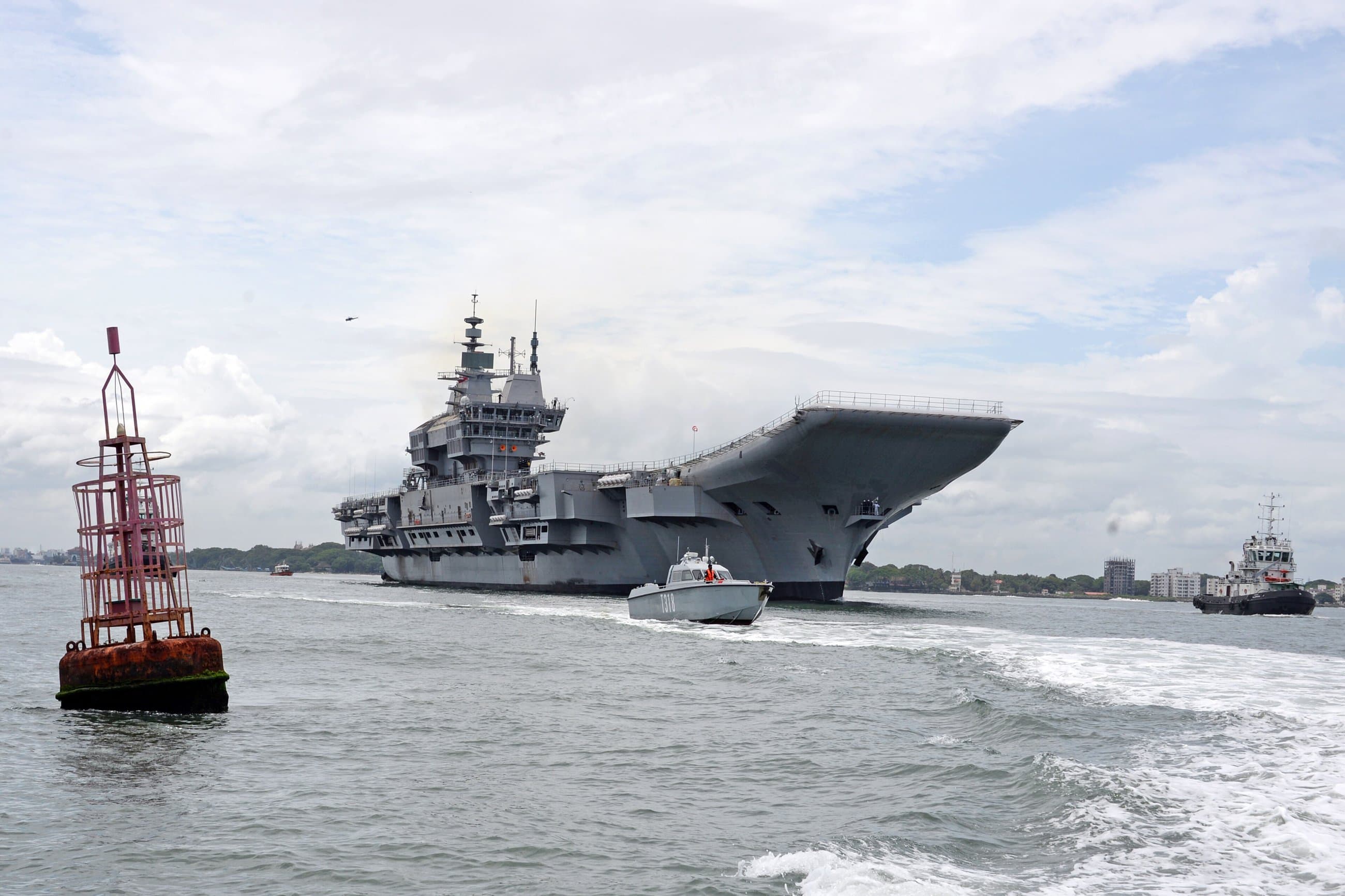
Dark-vessel detection, AIS cross-reference, approach-lane loitering patterns.
Terrain
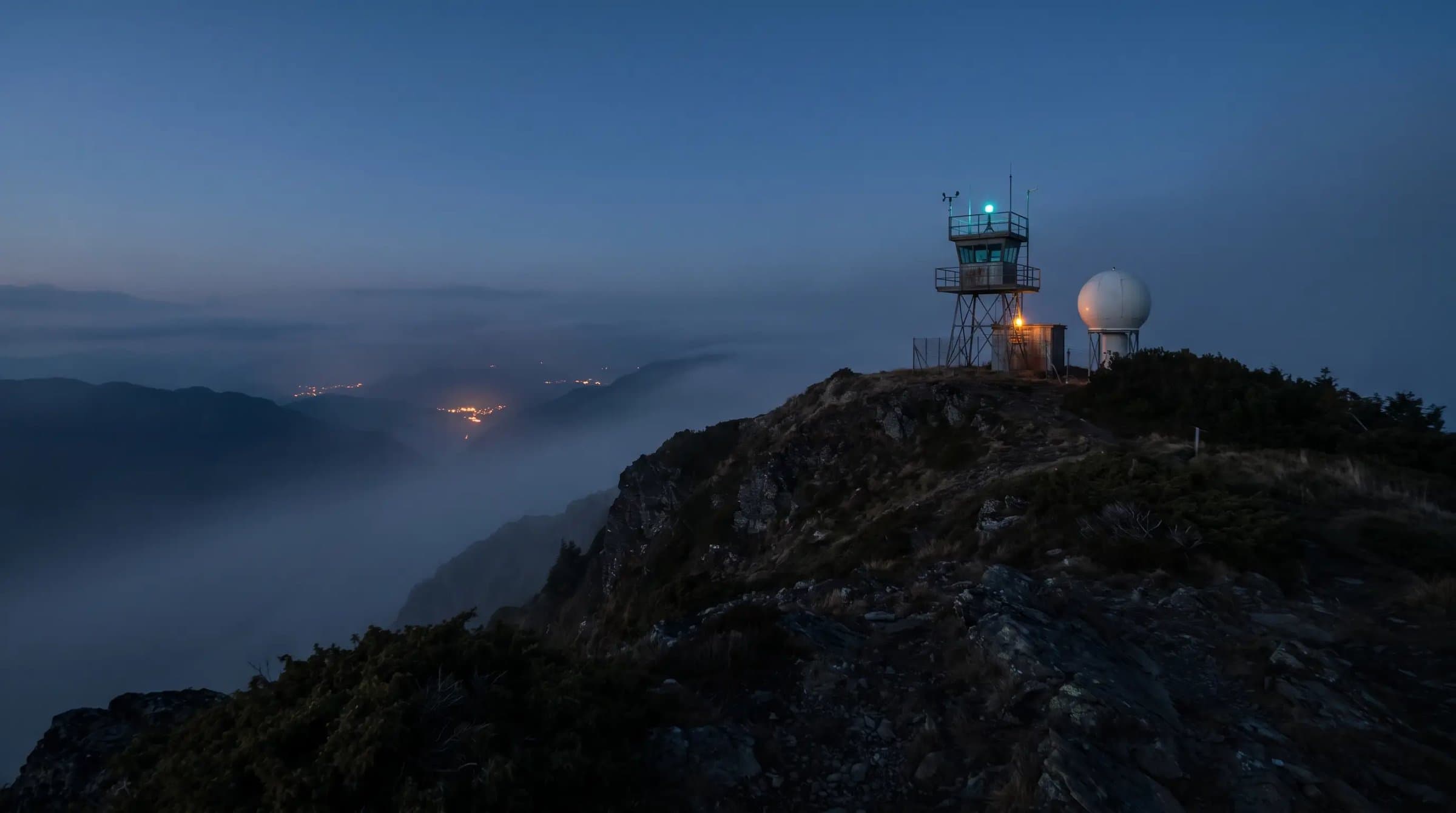
Viewshed, line-of-sight, border infrastructure change over time.

Airspace
Track correlation against flight plans, uncorrelated emitter flags.
Orbital
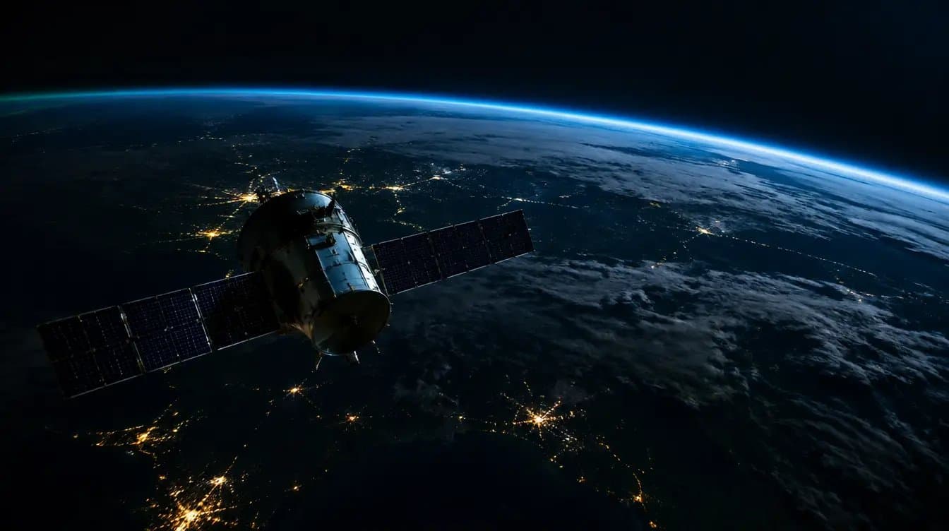
SAR and optical tasking, the sensing layer everything else fuses from.

Defence
Sensor fusion and agentic intelligence for border, maritime, and terrain awareness — dark-vessel detection, viewshed, and change detection on a single operating picture.
Civilian
State & Civilian Government
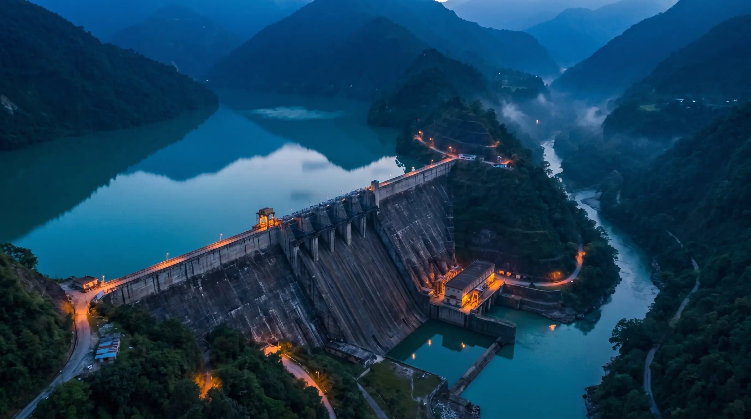
Cross-department fusion for state government — land, disaster, agriculture, and infrastructure, speaking each department's own language.

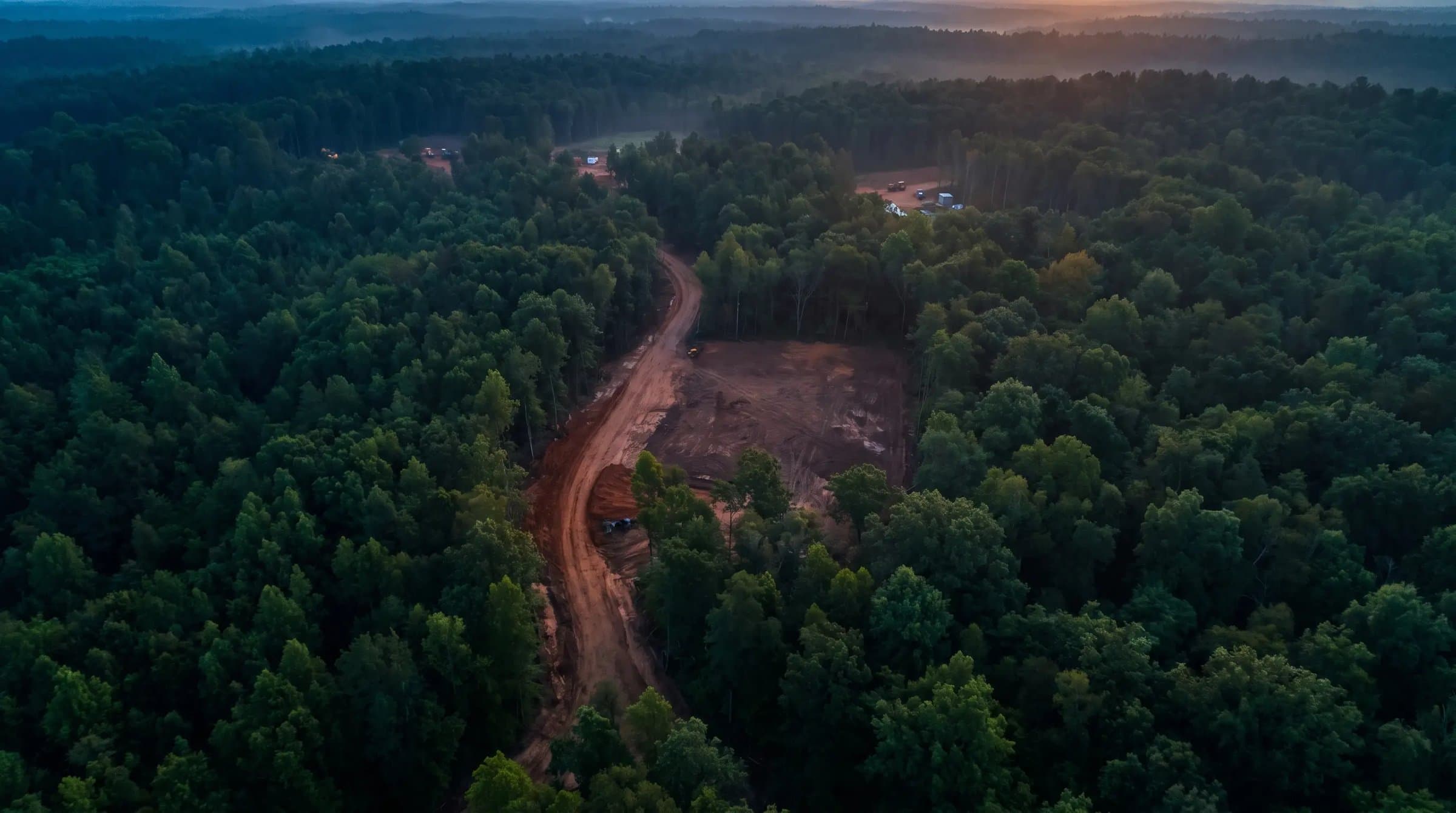
Six stages, one engine, every screen auditable.
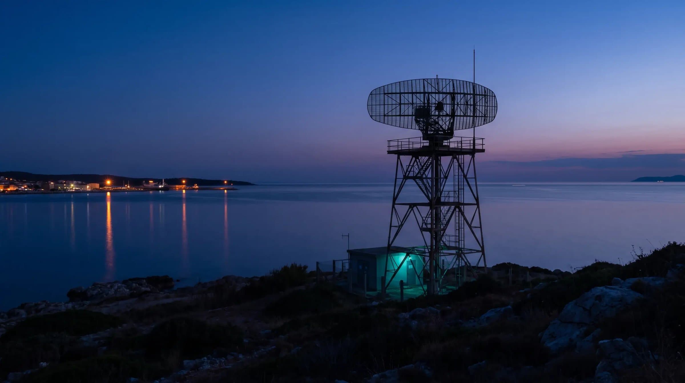
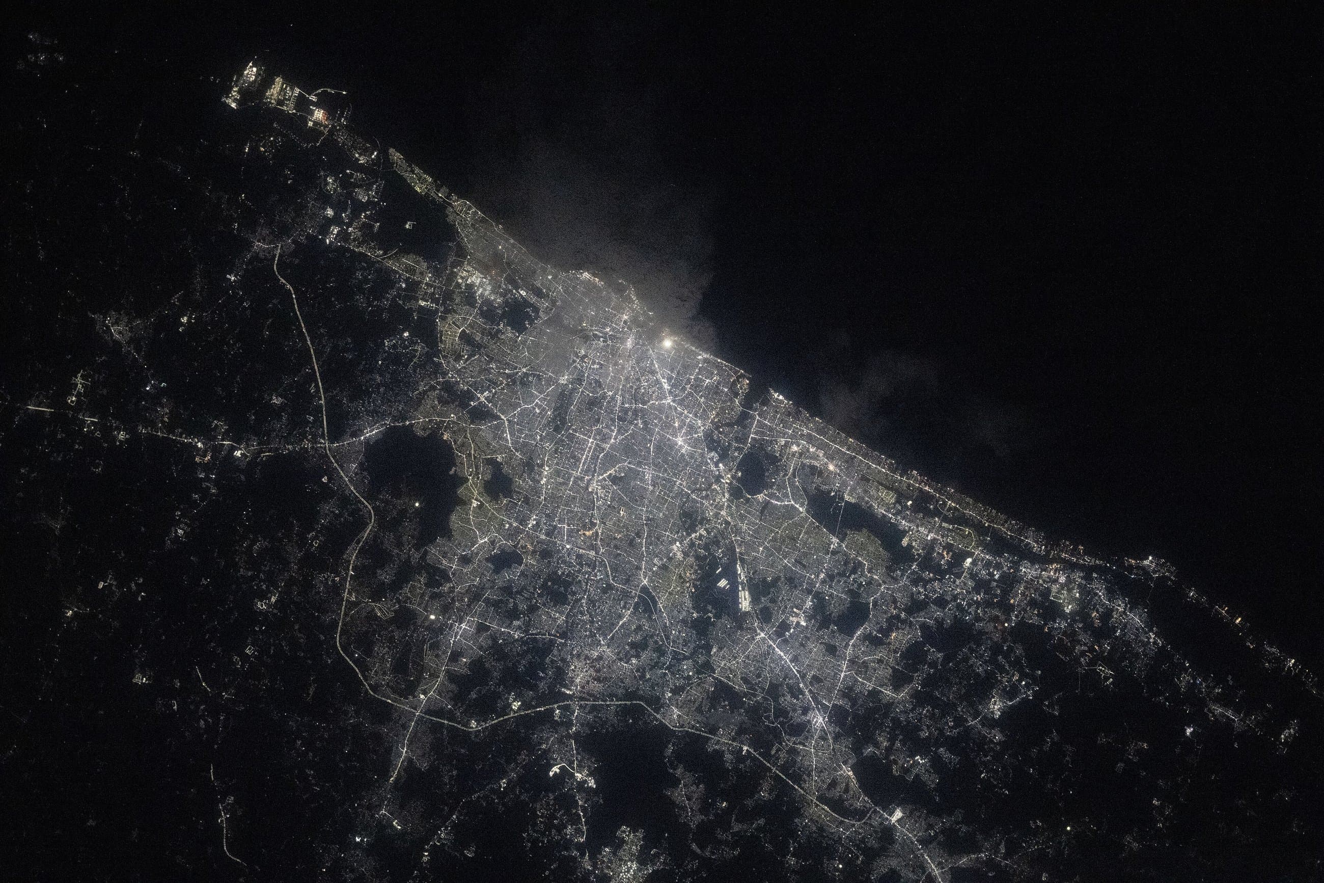
Every signal starts here.
SAR, AIS, satellite, drone, and radar feeds land in the same place, unfiltered — the raw sensing layer everything downstream fuses from.
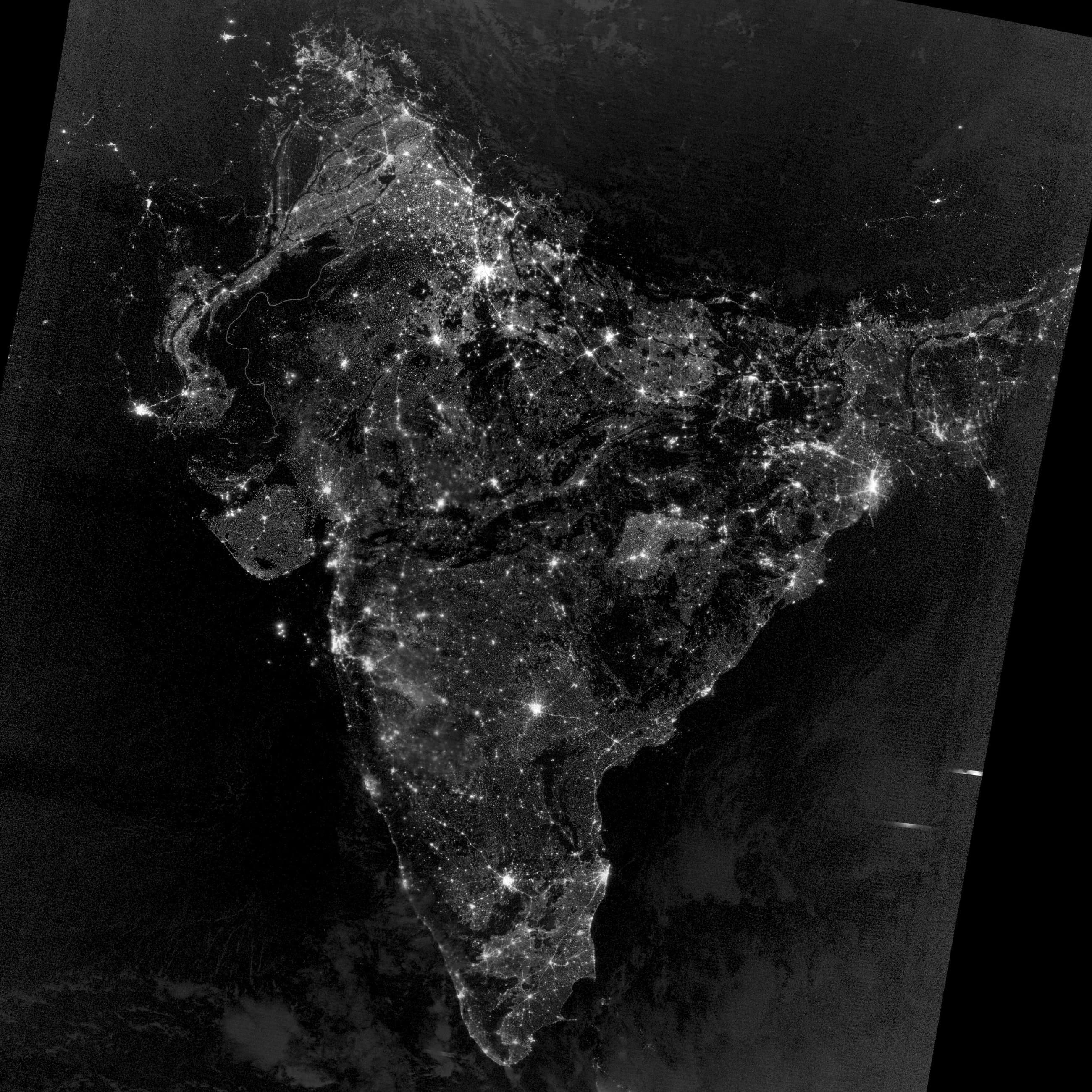
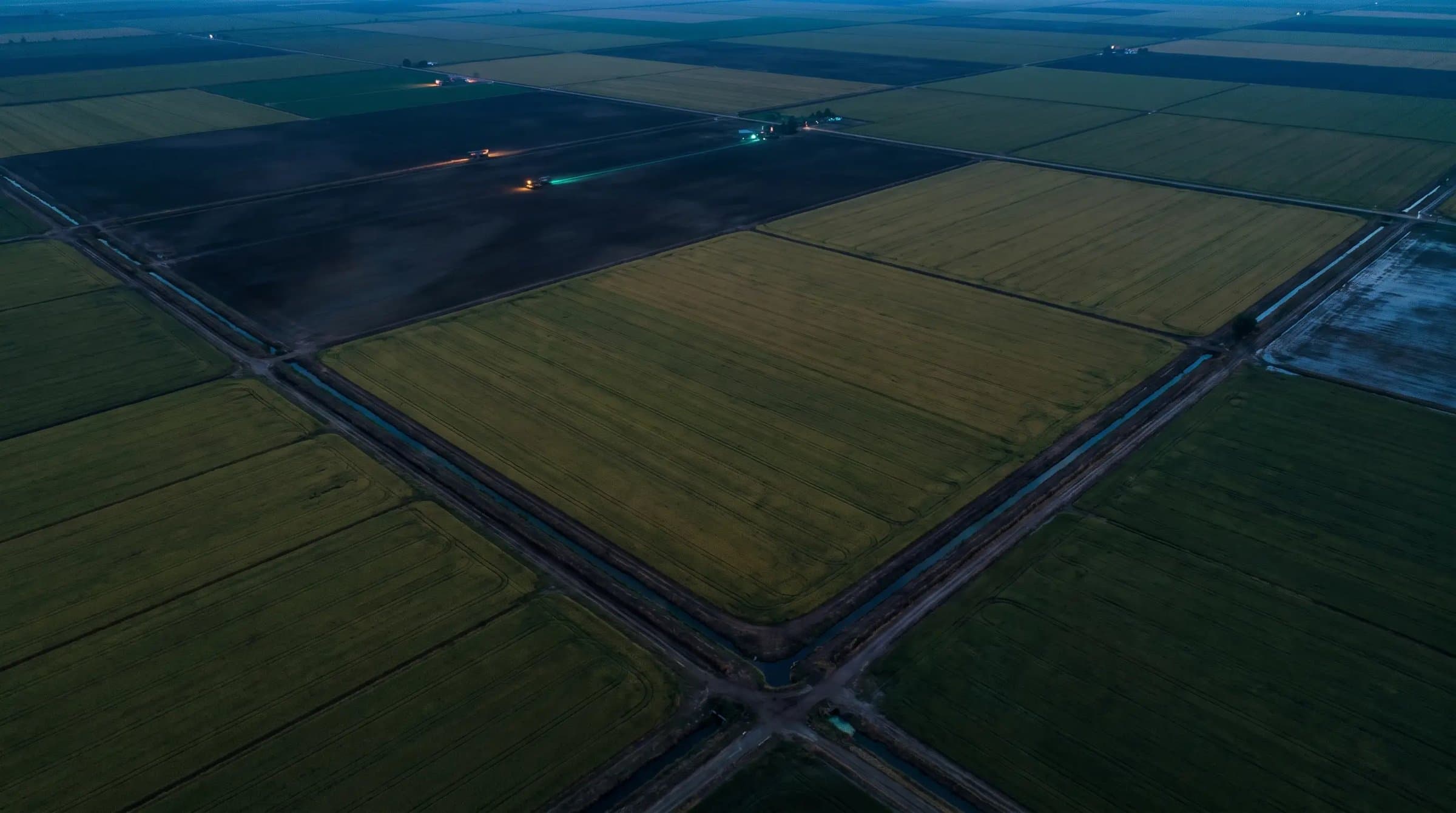
One picture, not six dashboards.
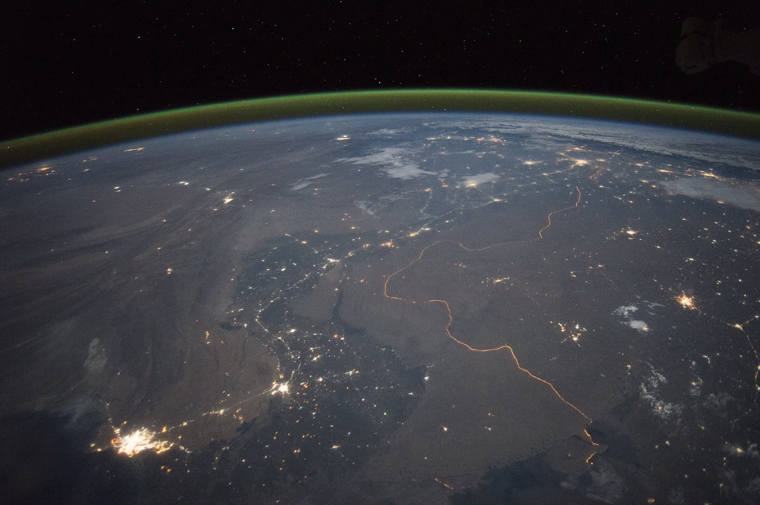
Multi-source tracks are correlated into a single operating picture per AOI. Every light in this frame is a real signal, fused, not six separate tools left open in six tabs.

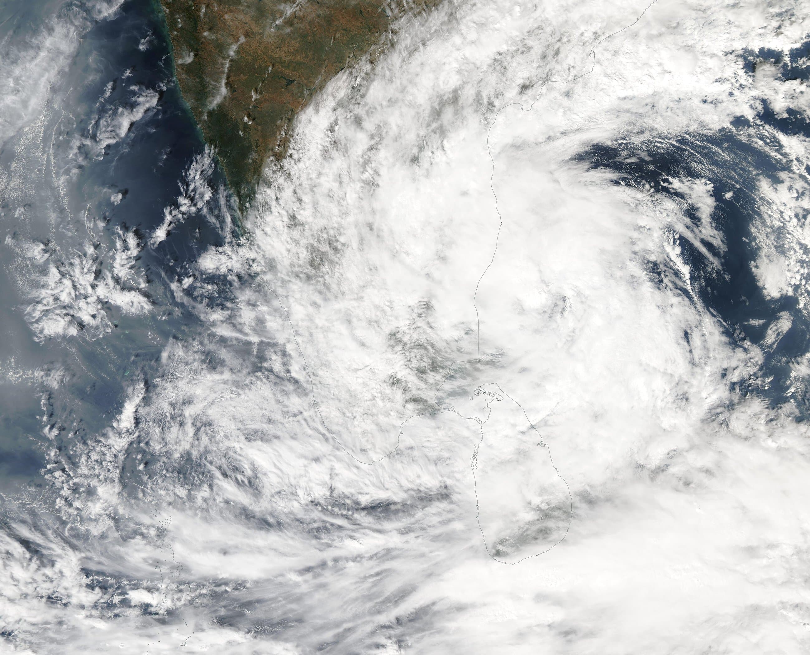
The agent reads the terrain, not just the pixels.
Agentic reasoning cross-references context an image alone can't give you — prior passes, known baselines, infrastructure layers already on record.
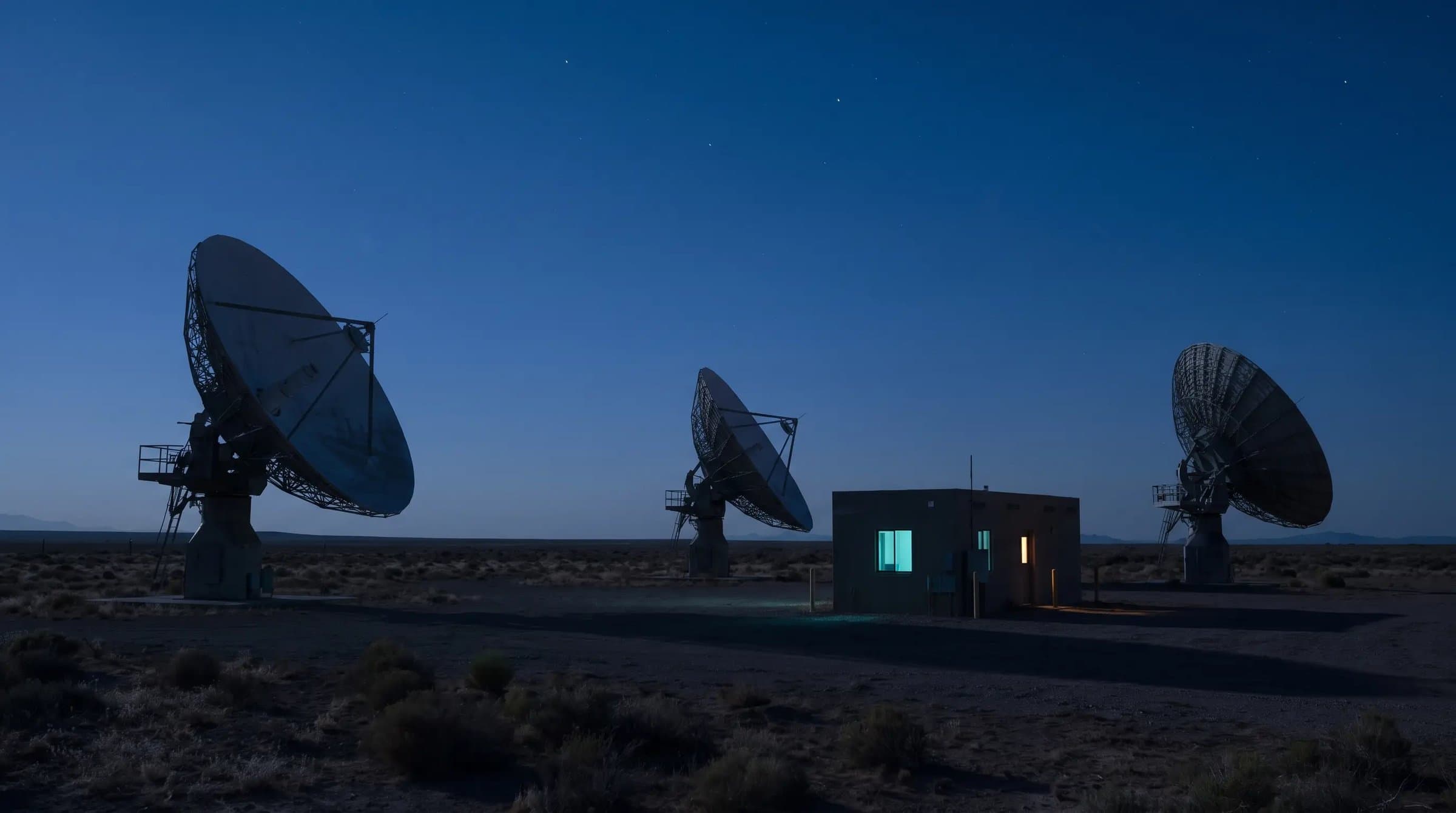
Confidence, calibrated against outcomes.
Every finding gets a number that means what it says — calibrated against what actually happened, never raw model output dressed up as certainty.
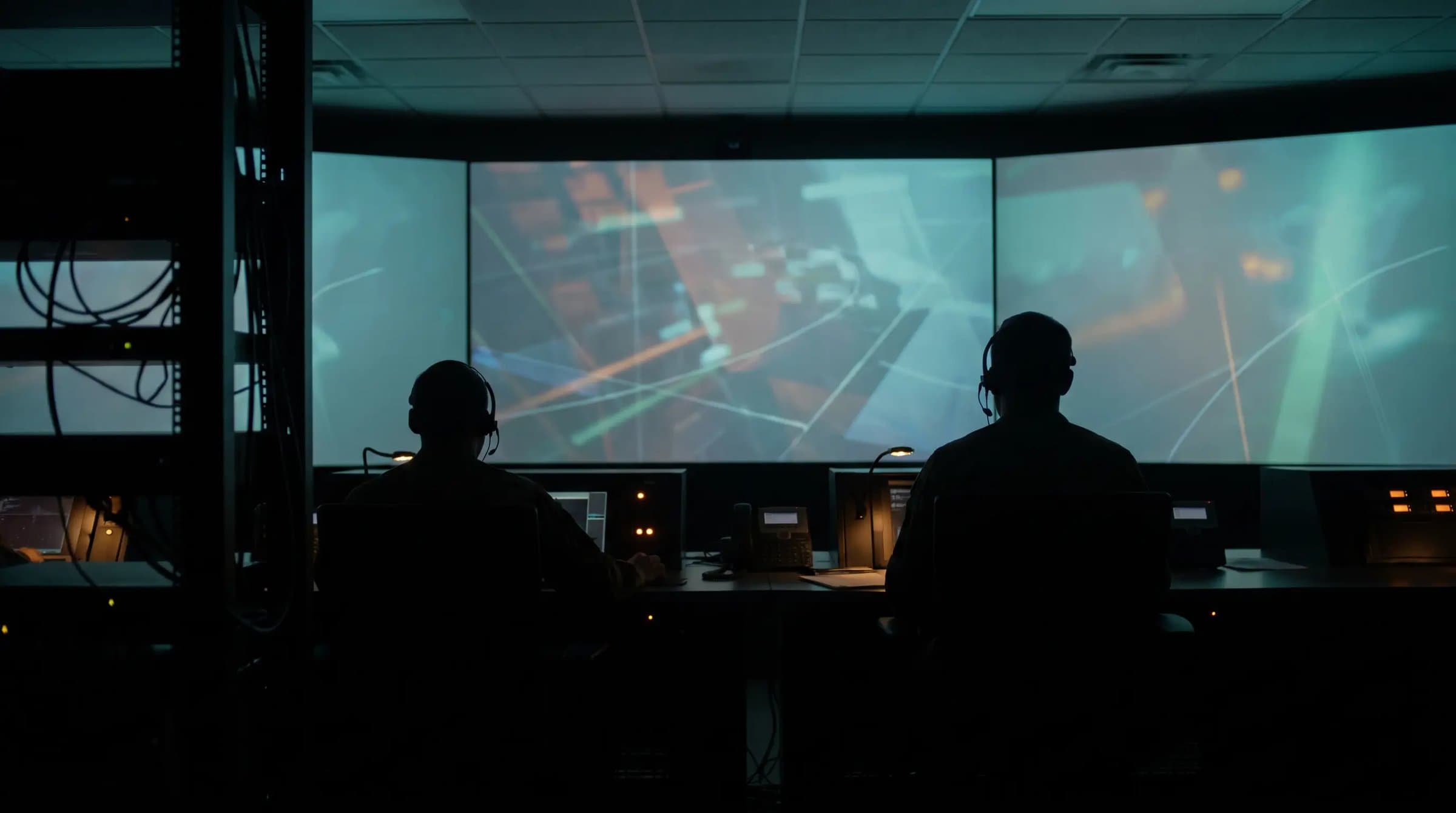
A human decides. Always.
Findings above threshold sit in a queue until someone signs off. Reject without a reason isn't an option — the audit trail expects one either way.
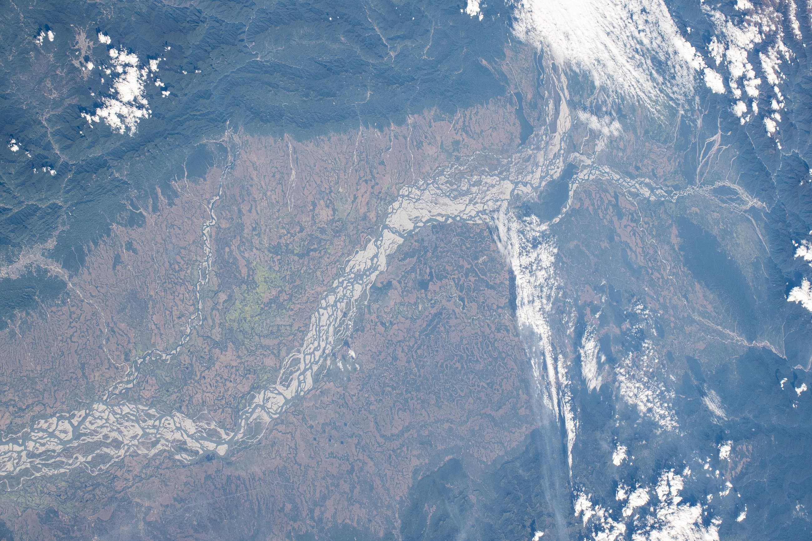
Drafted, not just detected.
SITREPs, department briefing notes, voice-narrated alerts, GIS-ready exports — the agent drafts the response, a person still sends it.
Multi-INT fusion
GEOINT, IMINT, and MDA live today. SAR, AIS, satellite, drone, and radar joined on one canvas.
Human-in-the-loop, always
The agent is a convenience layer, never the only way in. Every screen keeps a manual, auditable path.
Calibrated, never raw
Confidence scores are calibrated against outcomes — never shown as if raw model output were probability.